See your city
through a new lens.
Unlock the hidden pulse of your neighborhood. UrbanLens delivers hyper-local data, real-time safety insights, and immersive AR discovery straight to your mobile device.
Professional Intelligence
A Smarter Way to See Your Space
We provide actionable intelligence and trusted data, bringing true transparency to your local environment.

Data Integrity & Verification
Every data point on UrbanLens is cross-referenced with official city databases and community consensus to ensure complete accuracy for your neighborhood insights. Take the guesswork out of urban safety.
- Official Police API Integration
- Neighborhood Watch Sync
- Automated Anomaly Detection
Uncompromising Safety
Make informed decisions with real-time safety scores, historical crime data mapping, and predictive environmental hazards analysis. Protect yourself and your loved ones effortlessly.
Get the App for Free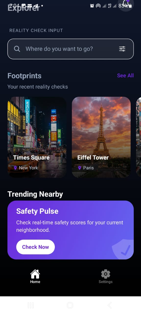
Hyper-Local Mapping
Go beyond standard maps. Discover local gems, zoning updates, noise levels, and walkability metrics specifically curated for where you stand.
Community Trusted
Built for neighbors, by neighbors. Share hyper-local updates, report incidents safely, and build a tighter-knit, more resilient community.
On the Horizon
Building the Future of Urban Interaction
We are constantly innovating. Our labs are currently developing next-generation tools to transform how you directly experience city life.
AR City Exploration
Point your camera at a street to instantly see building histories, safety grades, and verified local business ratings overlayed in real time.
Real-Time Crime & Alert Radar
Receive instant push notifications and live map blips for local incidents, empowering you to navigate your city with total peace of mind.
Neighborhood Investment Sentiments
Evaluate the developmental trajectory of a neighborhood with predictive models charting real estate health and civic investment trends.
AI-Powered Smart Routing
A navigation engine that charts the safest, most scenic, or best-lit walking paths, dynamically adjusting based on time-of-day safety metrics.
Ready to lens your city?
Join thousands of users discovering better routes, engaging communities, and comprehensive local intelligence.